From eucalyptus monoculture to a returning fraga: discover how we’re using iNaturalist to set a biodiversity baseline and track nature’s comeback in Galicia.
Share This Post
The first step in any great transformation is understanding where you are starting. For our rewilding project, that moment arrived after the final eucalyptus trees were cleared from our two plots in Mañón, Galicia. For years, these lands existed as a monoculture (a biological desert where a single species dominated the landscape) suppressing the native flora and limiting the diversity of wildlife.
With the eucalyptus gone, the land was suddenly open, bare, and resting (spoiler alert: not for long). But before we began active restoration, we needed a biodiversity snapshot, thus a baseline assessment. To keep proper track of our (people, animals and plants) work, we needed to produce a detailed record of what species were already present before the eucalyptus were cleared, which dormant seeds were waking up in the soil, and opportunistic animals were the first to return. This initial log serves as our scientific starting point, allowing us to measure the future developments and pivot our strategies based on real-world data.
To capture this data, we decided to use a tool called iNaturalist.
What is iNaturalist?
iNaturalist is a joint initiative by the California Academy of Sciences and the National Geographic Society. At its core, it is a social network for naturalists and a massive biological database. It allows anyone with a smartphone to record observations of plants, animals, fungi, and other organisms in their environment.
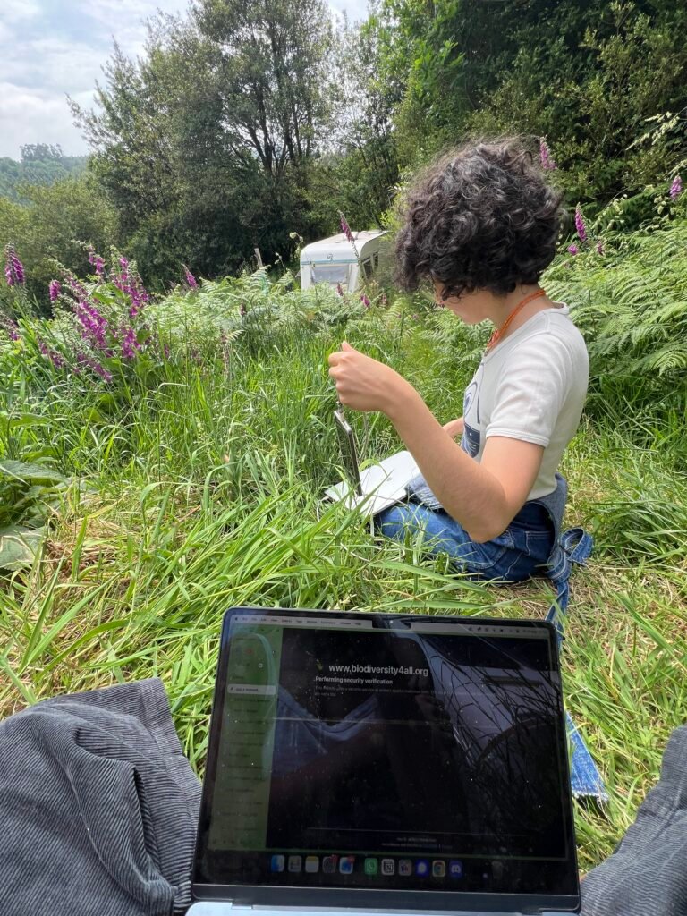
Instead of keeping our findings in a private notebook, using iNaturalist allows us to contribute to a global map of biodiversity, while simultaneously building a private, digital archive for our specific plots.
How it Works
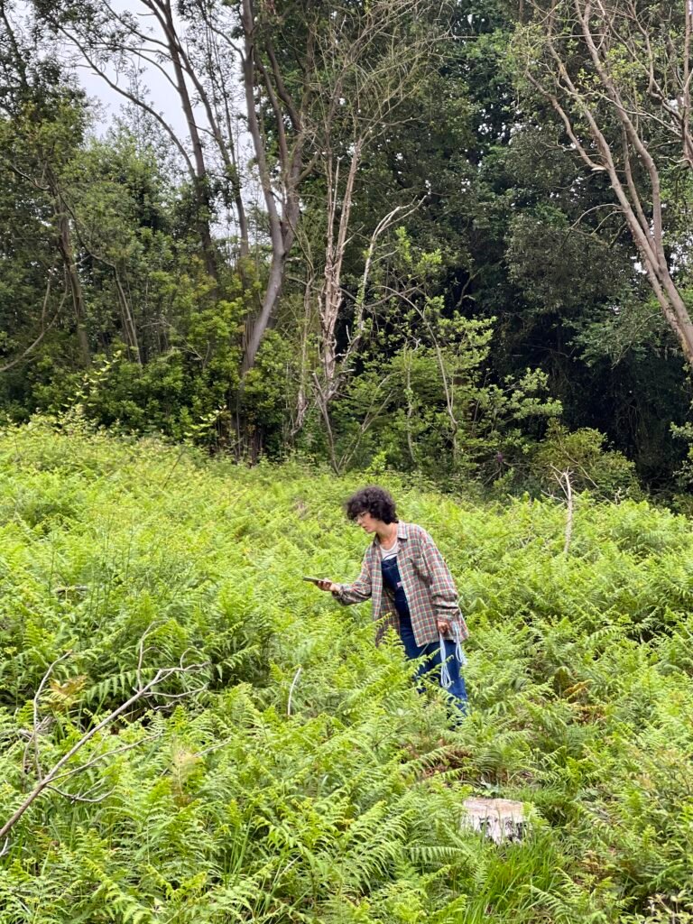
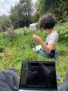
The process is simple but effective. When we find a plant or animal on the land, we use the app to take a photo and record the precise GPS coordinates of the sighting.
If we don’t know the name of the species, the app uses an AI-powered image recognition system to suggest the most likely matches. Once uploaded, the observation becomes visible to a community of experts and enthusiasts worldwide. These volunteers review the photo and the location, confirming the species. When enough experts agree on the species, the observation reaches “Research Grade”, meaning the data is verified and can be used by scientists globally to track species distribution and population health.
This peer-review system creates three quality levels:
Quality Grade
Definition
Scientific Value
Research Grade
Confirmed by at least two independent community members
Enters the global scientific record and is suitable for research
Needs ID
Observations awaiting identification from community members
Useful but not yet scientifically verified
Casual
Low-quality photos or lacking specificity
Preserved in your personal record but not included in research datasets
Why we chose iNaturalist for Sylvester
We chose this platform over traditional methods for three primary reasons:
Rewilding is a slow process that happens over decades. By using iNaturalist, we are creating a time-stamped, geo-tagged record of life returning. In five or ten years, we can look back at the exact coordinates of a single shrub or bird sighting from today and see how that specific patch of land has evolved.
Nature is complex, and misidentifying a species is easy. The peer-review system of iNaturalist ensures that our baseline data is accurate and cost-effective. By leveraging the collective knowledge of global experts, we can be confident that our starting biodiversity snapshot list is scientifically sound.
Our project is about more than just our own plots. It is about the health of the wider ecosystem. By uploading our findings, we provide valuable data to researchers studying how land recovers from monocultures. Our journey becomes a data point that can help others rewild their own land.
As we move forward from this baseline, we are no longer guessing. We have a map, a list, and a scientific foundation. Now, the real work of letting nature lead begins.
Photo dump and Soundscape of Sylvester’s plots
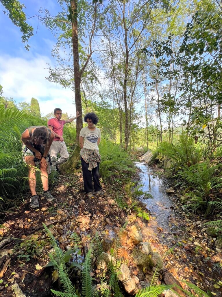
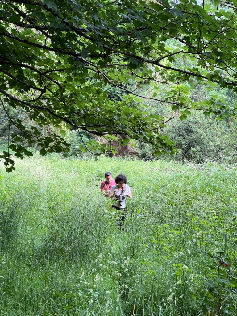
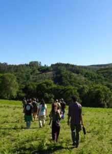
When we went to the two plots in Galicia in May, we were astonished by the number of different species of plants, fungi and animals that were present and the speed of growth of oaks, laurels, chestnuts and ferns. It was so inspiring to see the fraga (native forest from Galicia) so quickly returning to the land where once it was living and was forced to leave.
Here’s a little taste of the many cool species that we found in our baseline assessment in May 2026.
If you press play, you will hear the Eurasian Wren, Eurasian Blackcap, European Robin, Common Chaffinch and the Short-toed Treecreeper singing and some bees passing recorded at Rega Grande sounded on May 29th at 13:03.
Check out all observations and our iNaturalist project portfolio here.